Navigating by touch: haptic Monte Carlo localization via geometric sensing and terrain classification
Published in Autonomous Robots, 2024
Recommended citation: R. Buchanan, J. Bednarek, M. Camurri, M. R. Nowicki, K. Walas, M. Fallon. Navigating by touch: haptic Monte Carlo localization via geometric sensing and terrain classification. Autonomous Robot 45, 843–857 (2021). https://link.springer.com/article/10.1007/s10514-021-10013-w
Abstract:
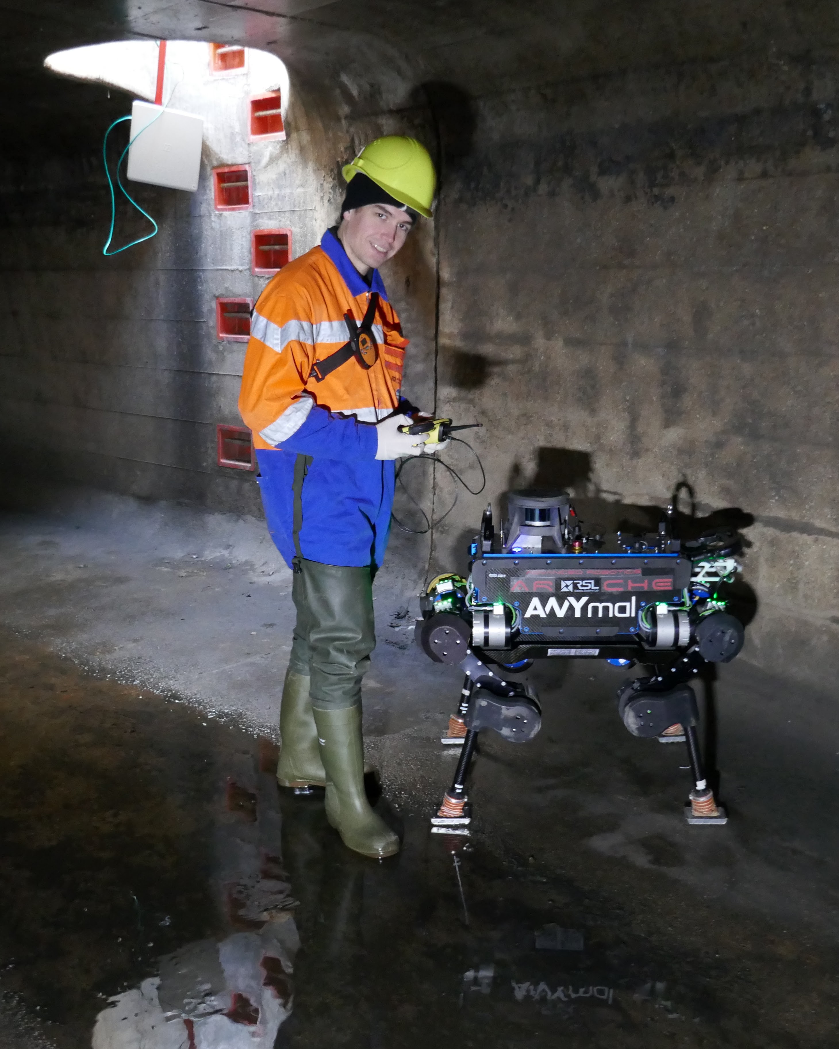
Legged robot navigation in extreme environments can hinder the use of cameras and lidar due to darkness, air obfuscation or sensor damage, whereas proprioceptive sensing will continue to work reliably. In this paper, we propose a purely proprioceptive localization algorithm which fuses information from both geometry and terrain type to localize a legged robot within a prior map. First, a terrain classifier computes the probability that a foot has stepped on a particular terrain class from sensed foot forces. Then, a Monte Carlo-based estimator fuses this terrain probability with the geometric information of the foot contact points. Results demonstrate this approach operating online and onboard an ANYmal B300 quadruped robot traversing several terrain courses with different geometries and terrain types over more than 1.2 km. The method keeps pose estimation error below 20 cm using a prior map with trained network and using sensing only from the feet, leg joints and IMU.